
Moving to Milton? Here's Your Neighborhood Cheat Sheet
Milton isn't just one town, it's a collection of distinct pockets, each with its own personality, pace, and charm. Whether you're relocating to the area or you've lived here for years and are just curious where you'd fit best, this guide breaks down what makes each neighborhood unique.
Here's your quick cheat sheet before diving into the full breakdown below.

 East Milton- Walkable. Energetic. Community-centered.
  Milton Hill & Milton Village - Historic. Elegant. Scenic.
 The Columbines - Suburban. Quiet. Timeless.
  Milton Centre - Civic. Historic. Central.
 Brush Hill - Sprawling. Private. Peaceful.
  Blue Hills - Active. Outdoorsy. Adventurous.
 Scott's Woods - Rural. Secluded. Storied.
  Pinetree Brook - Peaceful. Residential. Scenic.
 East Milton
Walkable. Energetic. Community-centered.
Anchored by East Milton Square, this neighborhood is perfect if you love grabbing a quick coffee or dinner steps from your front door. It is the most convenient address in Milton: a full commercial square you can walk to, a park on either side of it, and an I-93 on-ramp a minute away.
What is East Milton known for?
East Milton is the commercial and social center of the east side of town, built around East Milton Square at the junction of Adams Street and Granite Avenue. Roughly 60 businesses sit within a two-block walk: restaurants, a gourmet market, the post office, a barber, a dry cleaner, salons, a gym and a wine shop.
The Square is unusual for a reason most buyers do not know until they stand in it. A section of I-93 runs directly underneath. The highway is decked over, and the town built a park on top of it.
Why is East Milton Square built over a highway?
Because the corridor was a transportation route long before the expressway. In 1826 the Granite Railway ran through here, hauling Quincy granite toward the Neponset River on the first commercial railway in the United States. That stone became the Bunker Hill Monument. The Southeast Expressway later followed roughly the same path, cutting the square in two, and the deck was built to stitch it back together.
East Milton has been a transportation neighborhood for 200 years. The difference today is that the trains and trucks are below you and the coffee is above.
The two parks
Manning Community Park is the 40,000-square-foot green space built on the bridge deck over I-93, in the center of the Square. Lawn, planting beds, shade trees and seating, with a closed section of Adams Street next to it used as event space and a bikeway. A railroad artifact exhibited at the 1893 Chicago World's Fair sits in the park, a direct nod to the Granite Railway that ran through this ground.
Andrews Park is 9 acres at Belcher Circle, just behind the Square. Playground, three tennis courts, a pickleball court, a basketball court, two Little League diamonds, a softball field and soccer space. This is where East Milton families actually spend their Saturdays.
Worth knowing: Cunningham Park and the Collicot and Cunningham elementary campus on Edge Hill Road sit just west of here, shared with Milton Centre. Plenty of East Milton addresses walk to both.
What can you walk to in East Milton Square?
Eat: Novara at 556 Adams Street, Italian in the old East Milton movie theater. Abby Park at 550 Adams for American plates and weekend brunch. Julianne's Kitchen & Bar at 10 Bassett Street, open from 8 a.m. through dinner. Stella's at 560 Adams, an old-school diner open at 6 a.m. El Barrio at 537 Adams for tacos and birria. Mr. Chan's at 534 Adams for Chinese takeout. Starbucks at 552 Adams opens at 4:30 a.m. for the commuter run.
Shop: Fruit Center Marketplace at 10 Bassett Street, the gourmet anchor with an in-house butcher, prepared foods, bakery, wine and a florist. The Nutshell next door for children's clothes, toys and gifts, wrapped before you leave. Grono & Christie Jewelers on Franklin Street for repairs and redesign. East Milton Wine & Spirits on Granite Avenue.
Everyday: The East Milton post office at 499 Adams Street. Dependable Cleaners on Granite Avenue. The Milton Barber Shop at 556 Adams. Mellie Hair Salon, Luxxe Nails and Milton Nails & Spa. Belle Visage for spa services. Fitness Unlimited for Women on Granite Avenue, an all-women club with classes seven days a week.
Community life in the Square
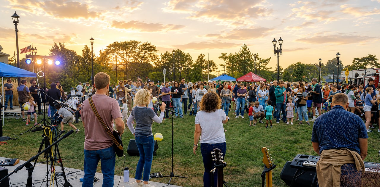
The Square is where the town shows up for itself. The Milton Chamber of Commerce runs family events here through the year, including Back to Business, the Halloween Stroll and the Holiday Stroll. The Square gets dressed for the holidays, including lights for Ramadan and Eid, and neighbors notice.
That is the part buyers cannot see on a listing photo and the part they mention a year after they move in.
What are the homes like in East Milton?
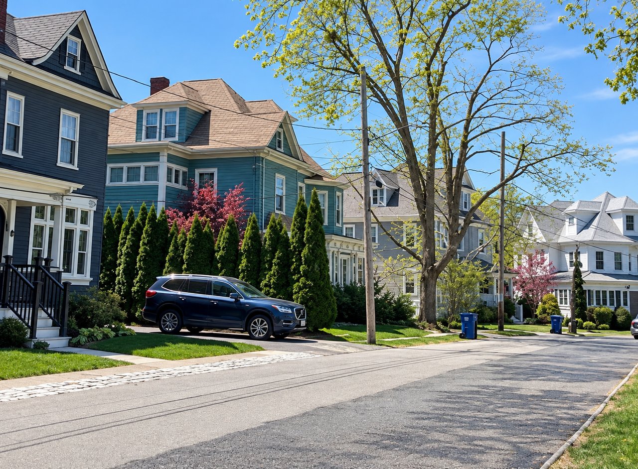
Colonials, Capes, Victorians and Garrisons, most built between the 1870s and the 1950s, on tidy lots with sidewalks. Streets like Franklin, Washington, Sheldon, Gerald and Belcher Circle. You will also find townhouse condos and two-families closer to the Square, which is where first-time buyers and downsizers get in.
Recent new construction and full restorations have appeared on the blocks directly behind the Square, so the housing mix runs wider here than the age of the neighborhood suggests.
Who this neighborhood fits
Buyers who want their commute measured in minutes instead of transfers. Families who want sidewalks, a playground and a walkable dinner. Downsizers who want to keep the errands short and the driving minimal. Anyone moving out of the city who is not ready to give up being able to walk somewhere.
Quick answers
Where is East Milton? On the east side of Milton, Massachusetts, centered on East Milton Square where Adams Street meets Granite Avenue, bordering Quincy and about eight miles south of downtown Boston.
Is East Milton walkable? Yes. East Milton Square holds restaurants, a grocery, the post office, salons, a gym and everyday services within about two blocks, and the surrounding residential streets have sidewalks.
How do you get to Boston from East Milton? By car, primarily. I-93 is accessible directly at the Square, and downtown Boston is roughly 20 to 30 minutes depending on traffic. The Mattapan trolley stops sit on the other side of town in Milton Village and along the Columbines.
What is the park over the highway in East Milton Square? Manning Community Park, a 40,000-square-foot park built on a bridge deck over I-93.
Was the first railroad in America in Milton? The Granite Railway, which began operating in 1826, was the first commercial railway in the United States. It ran through the East Milton corridor carrying Quincy granite toward the Neponset River, stone used to build the Bunker Hill Monument.
What schools serve East Milton? Pierce Middle School and Milton High School serve the entire town. Elementary assignment is made by address across Milton's four elementary schools, so confirm any specific street with the Milton Public Schools registrar before relying on it.
Milton Hill and Milton Village
Historic. Elegant. Scenic.
Winding tree-lined streets and iconic architecture give Milton Hill serious charm, with impressive views toward the Boston skyline. If you love history and character in a home, this is where to look. Just downhill, Milton Village and Lower Mills give you the walkable side of the same neighborhood: trolley stops, riverfront dining and the old Baker Chocolate mills.
What is Milton Hill known for?
Milton Hill is a National Register historic district of high-style homes running along Adams Street at the top of the hill, with open views toward the Neponset River marshes and the Boston skyline about six miles north. The district was listed in 1995 and covers roughly 220 acres bounded by Adams and School Streets, Randolph and Canton Avenues, and Brook Road.
The road itself is older than the country. Adams Street was laid out over the hill in 1654 as the "Country Heigh Waye," the main route between Boston and Plymouth Colony. Both of Massachusetts' last royal governors kept estates up here. Thomas Hutchinson built his summer place on the hill in 1743 and made it his year-round home in 1773, right before the Revolution ran him out of the country. Jonathan Belcher's name survives on Belcher Circle. In the 1800s, Boston merchants followed them up for the same reason buyers come today. The view.
The landmarks buyers ask about
Forbes House Museum, 215 Adams Street. A Greek Revival mansion designed by Isaiah Rogers and built in 1833 at the crest of the hill. It is a National Historic Landmark and it is open to the public for tours, currently Thursday through Saturday. Check hours before you go.
Governor Hutchinson's Field, Adams Street. The surviving piece of Hutchinson's 48-acre estate, protected by the Trustees of Reservations since 1898. The house came down around 1870, but the open field and the vista toward the salt marshes and the skyline are exactly what drew merchants here 200 years ago. A ha-ha wall from the governor's 18th-century gardens is still in the ground.
The Bush birthplace. President George H. W. Bush was born at 173 Adams Street on June 12, 1924. His father was an executive at the Walter Baker Chocolate Company at the time, and the family moved to Connecticut soon after. The Hall-Bush Carriage House, built around 1890 at Adams and Hutchinson Streets, stands behind it.
Suffolk Resolves House. The Suffolk Resolves were adopted on September 4, 1774 at Daniel Vose's house in Milton Village, then carried to Philadelphia by Paul Revere. Historians call the document a forerunner of the Declaration of Independence. The house was moved from 34 Adams Street to 1370 Canton Avenue in 1950 and is now the headquarters of the Milton Historical Society.
What are the homes like on Milton Hill?
Federal, Greek Revival, Italianate, Shingle Style, Colonial Revival, and grand Victorians, most built between the late 1700s and the early 1900s. Deep setbacks, mature trees, stone walls, carriage houses, original millwork and period windows. Many are on generous lots by inner-suburb standards.
What that means practically: you are buying character, and character comes with maintenance. Slate and copper, plaster, single-pane glass in original sash, older systems. Buyers who love these homes usually plan for phased updates rather than one gut renovation. Kitchens and baths are where most of the work lands.
Milton Village and Lower Mills run smaller and more varied. Victorians and Colonials on tighter lots, two-families, plus condos and loft-style units in the converted Baker Chocolate mill buildings. It is the part of Milton where a buyer can get in without a single-family budget.
Is Milton Village walkable?
Yes, and it is the most walkable pocket in Milton. The village sits where Adams and Eliot Streets meet the Neponset River, and the Lower Mills business district continues across the bridge on the Dorchester side. Dinner, coffee, groceries and the trolley are all on foot.
Where locals actually go:
Steel & Rye, 95 Eliot Street. Brunch, dinner, and a small bakery counter for sourdough and pastry on the way out. Madre Osteria & Bar, 88 Wharf Street. Italian, wine list, patio, and a room people book for weddings and big nights. Two Pence Market, 2 Eliot Street. Breakfast sandwiches, specialty groceries and ice cream, open from 6:30 in the morning. Coffee Break Cafe, 24 Central Avenue. Opens at 5:30 a.m. right behind the Central Avenue trolley stop. Milton Village Hardware, 54 Adams Street. In business since 1918. They rewire lamps and tune snowblowers. Lower Mills Tavern and The Ice Creamsmith, on Dorchester Avenue across the bridge. The Ice Creamsmith has been making its own since 1976. Sweet Life, 2243 Dorchester Avenue, for breakfast and baked goods.
How do you get to Boston from Milton Village?
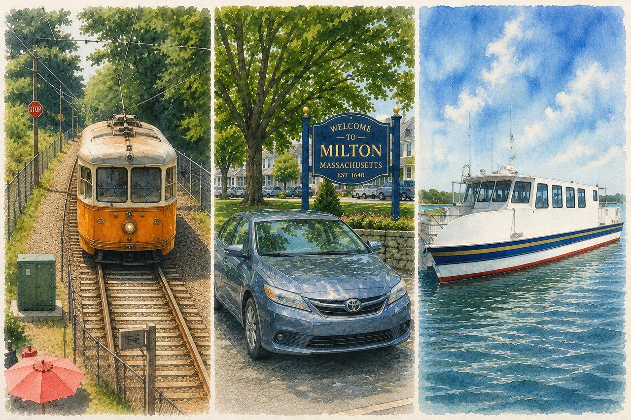
By trolley. The Mattapan High Speed Line runs four stops in Milton, at Milton, Central Avenue, Valley Road and Capen Street, and connects at Ashmont to the Red Line into South Station and downtown. Milton Village has the Milton stop at the foot of Adams Street.
You also get the Neponset River Greenway at your back door, a paved path along the river toward Dorchester and Boston Harbor for walking and biking. Drivers reach I-93 through East Milton Square in a few minutes.
Who this neighborhood fits
Buyers who want a home with a documented history and are willing to be stewards of it. Families drawn to the schools and to Milton Academy, a short way uphill in Milton Centre. Downsizers who want to trade the yard for a mill-building condo and a walk to dinner. Anyone who has looked at Brookline or Jamaica Plain, loved the architecture, and wants more land and a shorter commute for the money.
Quick answers
Is Milton Hill a historic district? Yes. The Milton Hill Historic District was added to the National Register of Historic Places in 1995.
Can you see the Boston skyline from Milton Hill? Yes, from Governor Hutchinson's Field on Adams Street, looking north across the Neponset marshes toward the city about six miles away.
Was a U.S. President born in Milton? Yes. George H. W. Bush was born at 173 Adams Street on Milton Hill in 1924.
What is the difference between Milton Village and Lower Mills? Milton Village is the Milton side, Lower Mills is the Dorchester side. They face each other across the Neponset River and function as one walkable district.
Was the Baker Chocolate Factory in Milton? Both. Walter Baker's chocolate company started in 1764 and operated on both banks of the Neponset for about two centuries. The mill buildings are now residential.
Is there public transit in Milton Village? Yes. The Mattapan High Speed Line stops at Milton, with three more Milton stops at Central Avenue, Valley Road and Capen Street, all connecting to the Red Line at Ashmont.
The Columbines
Suburban. Quiet. Timeless.
Classic New England homes on quiet streets, where kids still ride bikes until sunset. The Columbines is the neighborhood for buyers craving that traditional, family-friendly suburban feel. It is the part of Milton where you get a real yard, a pond to walk around, a school within a stroller push, and a trolley to Boston, all without touching a highway.
Where is the Columbines neighborhood in Milton?
The Columbines sits in north-central Milton, generally bounded by the Neponset River to the north, Adams Street and Canton Avenue to the east, Brook Road to the south and Blue Hills Parkway to the west. Columbine Road runs through the heart of it and gives the neighborhood its name.
You will see it written several ways depending on the source: the Columbines, Columbine, Columbine Cliffs and Cliff Columbine. They all refer to the same general area. Locals say the Columbines.
What are the homes like in the Columbines?
A mix of pre-war character and post-war practicality, which is what makes the streetscape feel settled rather than uniform.
The earlier homes date to the 1920s and 1930s: center-entrance Colonials, Tudors and shingled four-squares with coffered ceilings, paneled libraries, butler's pantries, French doors and oversized fireplaces. The rest of the neighborhood filled in steadily after World War II with Capes, ranches and split-levels built for returning servicemen and their families.
Lots run larger than anything you will find near East Milton Square. Driveways, garages, fenced back yards, mature trees, and the kind of flat street a kid can learn to ride on. That combination is the whole appeal.
What is there to do in the Columbines?
Turner's Pond. The neighborhood's front yard. A loop footpath just under a mile circles the water, with benches, two entrances and parking. Ducks, geese, turtles, herons and an active beaver population. People run it in the morning, walk dogs on it all day and push strollers around it after dinner. Glover Elementary sits right beside it.
Glover Elementary School, 255 Canton Avenue. Close enough to much of the neighborhood that kids walk.
Kelly Field, 250 Brook Road. Playground, tennis courts, ball fields and a street hockey rink at the southern edge of the neighborhood.
The Neponset River Greenway. The paved bike and walking path along the river, running toward Dorchester and Boston Harbor. This is the "bike path" in every listing for this neighborhood.
Tucker Elementary, 187 Blue Hills Parkway, sits just off the neighborhood's western edge.
The Milton Public Library and the town common are a short hop east into Milton Centre.
How do you commute from the Columbines?
By trolley. The Mattapan High Speed Line runs along the northern edge of this neighborhood, and the Central Avenue, Valley Road and Capen Street stops all serve Columbine addresses. The line connects at Ashmont to the Red Line into downtown Boston.
That is the quiet advantage here. East Milton buyers get the highway. Columbine buyers get the T, plus a short drive to I-93 when they want it.
Who this neighborhood fits
Families who want a yard, a walkable elementary school and a neighborhood where children are outside unsupervised without anyone worrying about it. Buyers priced out of Milton Hill who still want character and square footage. City families trading a condo for a lawn but not willing to give up a train.
It is also where Milton buyers tend to land on their second purchase, moving up from a condo or a smaller home elsewhere in town and staying for twenty years.
Quick answers
Where is the Columbines neighborhood? In north-central Milton, Massachusetts, centered on Columbine Road, roughly between the Neponset River, Canton Avenue, Brook Road and Blue Hills Parkway.
Is the Columbines a good neighborhood for families? It is one of Milton's most family-oriented areas, with Turner's Pond, Glover Elementary, Kelly Field and the Neponset River Greenway all inside or bordering the neighborhood, plus quiet residential streets and larger lots.
What elementary school serves the Columbines? Glover Elementary School at 255 Canton Avenue is the closest and serves much of the area, but Milton assigns elementary schools by address across its four elementary schools. Confirm any specific street with the Milton Public Schools registrar. Pierce Middle School and Milton High School serve the entire town.
Is there public transit in the Columbines? Yes. The Mattapan High Speed Line stops at Central Avenue, Valley Road and Capen Street along the neighborhood's northern edge, connecting to the Red Line at Ashmont.
When were the homes in the Columbines built? Mostly between the 1920s and the 1950s. Columbine Road itself has homes dating to the mid-1920s, and the surrounding blocks filled in through the post-war building boom.
Can you walk around Turner's Pond? Yes. A footpath loops the pond in just under a mile, with parking at the entrances.
Milton Centre
Civic. Historic. Central.
The literal and historical middle of town. Town Hall, the common, the bandstand, two churches, the library and Milton Academy all sit within a few blocks of each other on Canton Avenue. If your picture of New England is a white meetinghouse facing a green, this is the address.
What is Milton Centre?
The Milton Centre Historic District covers 23 acres along Canton Avenue between Reedsdale Road and Thacher and Highland Streets, on a rise known locally as Academy Hill. It was listed on the National Register of Historic Places in 1988. You will see it spelled both Centre and Center; the historic district uses the British spelling.
The town center ended up here by argument. Milton's first meetinghouse was built on Milton Hill, and Academy Hill was chosen in 1727, after years of controversy, as the site of the town's third. The fourth meetinghouse, built between 1787 and 1788, is now First Parish in Milton, Unitarian the oldest surviving building in the center and it was physically turned in 1835 to face Canton Avenue.
The center stayed rural until the 19th century, when Milton Academy was founded on land to the east, the First Congregational Church arrived in 1834, and a new town hall went up in 1837.
The landmarks
First Parish in Milton, Unitarian. The 1787–88 meetinghouse, with its 1879 Parish House and the Children's Church, a former town school from around 1850. The First Congregational Church faces it from the opposite side of the common.
Town Hall, on Canton Avenue. The current building went up in 1967, replacing a Victorian town hall designed by Rotch and Tilden. In front of it is the Lira Bandstand, the site of summer concerts.
"In Flanders Field," a monumental bronze by Daniel Chester French, the sculptor behind the seated Lincoln in Washington, memorializing Milton men who died in World War I.
Milton Public Library, 476 Canton Avenue. A 1904 Beaux-Arts building with a 2009 addition, close enough to much of the surrounding neighborhood that kids get there on their own.
Milton Academy, 170 Centre Street. The independent school founded in 1798, on the land just east of the common that gave Academy Hill its name. It is one reason this corner of town draws the buyers it does.
Cunningham Park, off Edge Hill Road. Privately owned, publicly accessible, and one of the most-used pieces of land in Milton. It came from Mary Cunningham's 1904 bequest of roughly $600,000 for the benefit of the town's inhabitants. Trustees bought 100 acres of the Cunningham estate and the park opened in 1905 with a pool, tennis courts, fields and trails. It has changed remarkably little in a century,even the original bathhouse is still in use.
Schools
This is the school corner of Milton. Cunningham Elementary at 44 Edge Hill Road and Collicot Elementary at 80 Edge Hill Road share the same campus, beside Cunningham Park. Pierce Middle School is at 451 Central Avenue and Milton High School at 25 Gile Road, both close by. Elementary assignment is still made by address, so confirm any specific street with the registrar.
What are the homes like?
Federal, Greek Revival, Colonial Revival, New Englanders and Victorians, most from the 18th and 19th centuries on the streets closest to the common, with mid-century Colonials, Capes and newer construction filling in around them. Deep lots, stone walls, mature trees, and a good number of homes with real architectural pedigree.
Price points here often land below Milton Hill for comparable square footage, which surprises buyers who assume the historic center commands the historic premium.
How do you commute?
By car, via Canton Avenue to Route 138 or through East Milton Square to I-93. The Central Avenue trolley stop is within reach of the northern edge, but this is a drive-first neighborhood with a very short drive.
Who this neighborhood fits
Families who want to walk to school, the library, the park and a July concert on the common. Buyers who want a historic home but would rather have the civic life than the skyline view. Anyone with a child at Milton Academy. People who move to a town because they intend to be part of it.
Quick answers
Where is Milton Centre? On Canton Avenue between Reedsdale Road and Thacher and Highland Streets, on Academy Hill in the geographic center of Milton.
Is Milton Centre a historic district? Yes, a 23-acre district listed on the National Register of Historic Places in 1988, and one of six historic districts designated by the Milton Historical Commission.
What is the oldest building in Milton Centre? First Parish in Milton, Unitarian, built between 1787 and 1788 and reoriented to face Canton Avenue in 1835.
Where is Milton Academy? At 170 Centre Street in Milton Centre, founded in 1798. Academy Hill takes its name from the school.
Is Cunningham Park public? It is privately owned by the Cunningham Trust and open to Milton residents. It opened in 1905, funded by Mary Cunningham's bequest, and has a pool, tennis courts and playing fields.
Where is the Milton Public Library? 476 Canton Avenue, a 1904 Beaux-Arts building expanded in 2009.
Brush Hill
Sprawling. Private. Peaceful.
Large estates, lush green space, and classic privacy define Brush Hill. It feels like a scenic country escape while still being minutes from Boston. This is the oldest continuously rural corner of Milton, and the one where a buyer can still find real acreage.
Where is Brush Hill?
Brush Hill runs along Brush Hill Road in western Milton, on a low rise between the Blue Hills to the south and the Neponset River to the north. The Brush Hill Historic District covers roughly a mile of that road, from Robbins Street toward Dana Avenue, including Brush Hill Lane and Fairmount Avenue. It was listed on the National Register of Historic Places in 1998 and covers about 68 acres.
Brush Hill Road is one of Milton's oldest roads and likely began as a Native American path. The land here was among the last parcels the early colonists allocated, in 1660, two years before Milton separated from Dorchester. It stayed farmland while the rest of town suburbanized, which is exactly why it still feels the way it does.
What are the homes like on Brush Hill?
The historic district alone spans architecture from about 1670 to 1948: Colonial, Federal and Greek Revival, plus the summer estates that Boston families built here in the mid-1800s once travel got easier, and mid-century homes filling in after that.
Expect deep setbacks, long driveways, stone walls, mature shade trees and views toward the Blue Hills. Lots run large by any Greater Boston standard. Carriage houses, barns and outbuildings are common. So are the realities that come with old estate properties, including older systems, larger grounds to maintain and more property to heat.
The landmarks
Wakefield Estate, 1465 Brush Hill Road. A 22-acre working estate held by the Davenport family for more than 300 years, now run by a charitable trust for educational programming. The oldest house dates to the early 1700s and keeps First Period features. The main house was built around 1794. Listed on the National Register in 2018 as the Davenport Estate Historic District. The grounds open to the public by appointment and on announced occasions.
Eustis Estate Museum, 1424 Canton Avenue. An 1878 stone mansion designed by William Ralph Emerson, on 110 acres that back directly onto the Blue Hills Reservation, with 80 acres under conservation easement. Owned by Historic New England and open as a museum since 2017. It is the only Emerson-designed house open to the public.
Suffolk Resolves House, 1370 Canton Avenue. Headquarters of the Milton Historical Society, in the same western corner of town.
Curry College, 1071 Blue Hill Avenue.
How do you commute from Brush Hill?
By car. Route 138 runs along the eastern edge toward the I-93 and Route 128 interchange in Canton. There is no trolley stop on this side of town. Brush Hill buyers accept a car-first life in exchange for land, which is the trade that defines the neighborhood.
Who this neighborhood fits
Buyers who want acreage and privacy without leaving the inner ring. Families who want the Blue Hills as a back fence. Anyone who has been shopping Dover, Weston or Sherborn and would rather cut twenty minutes off the commute.
Quick answers
Where is Brush Hill in Milton? In western Milton along Brush Hill Road, between the Blue Hills Reservation to the south and the Neponset River to the north.
Is Brush Hill a historic district? Yes. The Brush Hill Historic District was listed on the National Register of Historic Places in 1998 and includes homes built from roughly 1670 to 1948.
What historic houses can you visit near Brush Hill? The Eustis Estate Museum at 1424 Canton Avenue, operated by Historic New England, and the Wakefield Estate at 1465 Brush Hill Road, open by appointment and on announced dates.
How old is Brush Hill Road? It is one of Milton's earliest roads, probably originating as a Native American path, with the surrounding land allocated to colonists in 1660.
Blue Hills
Active. Outdoorsy. Adventurous.
Built for nature lovers, Blue Hills puts trailheads, snow activities, and scenic overlooks right in your backyard. Perfect for buyers who want an active lifestyle without leaving the neighborhood. This is the southern edge of Milton, where the residential streets end and 7,000 acres of state park begin.
What is the Blue Hills Reservation?
The Blue Hills Reservation is a 7,000-acre state park stretching across Milton, Quincy, Braintree, Canton, Dedham and Randolph. It was established in 1893 and is managed by the Massachusetts Department of Conservation and Recreation. Reservation headquarters sits at 725 Hillside Street in Milton.
It holds 125 miles of trails and 22 hills. Great Blue Hill tops out at 635 feet, the highest point on the Atlantic coastline south of Maine. From the summit you can see the entire Boston skyline and, on a clear day, the ocean.
The Massachusett people lived here for more than 10,000 years and the name means people of the great hills. The Commonwealth is named for them, and for these hills.
What can you do here?
Hike. The Skyline Trail runs roughly 15 miles along the ridgeline with about 3,000 feet of elevation change. Shorter options include the Houghton's Pond loop at about three quarters of a mile and the three-mile Skyline Loop over Great Blue Hill.
Swim. Houghton's Pond is a glacial kettle pond with a beach, seasonal lifeguards, a bathhouse, playground, picnic areas and free parking. It also has beach wheelchairs, a beach mat and the accessible Marigold Marsh boardwalk.
Ski. Blue Hills Ski Area offers downhill skiing on the Milton side, with a season that generally runs mid-December to mid-March. Cross-country skiing and snowshoeing happen throughout the reservation when snow allows.
Everything else. Mountain biking on the carriage roads, horseback riding, fishing at Ponkapoag Pond, rock climbing at Quincy Quarries, and paddling on the Neponset at Fowl Meadow.
Blue Hill Observatory, at the summit of Great Blue Hill. Founded in 1885, it is the oldest continuously operating weather observatory in the United States and a National Historic Landmark.
Blue Hills Trailside Museum, on Route 138, operated with Mass Audubon. Indoor and outdoor animal exhibits, and the easiest way to introduce small children to the reservation.
What are the homes like?
The Blue Hills side of Milton skews later and larger-lot: mid-century Colonials, ranches, splits and custom builds on wooded parcels, with newer construction mixed in. Streets run quieter and darker at night than anywhere else in town. Wildlife in the yard is normal here, not an event.
How do you commute from the Blue Hills side?
By car, via Route 138 to I-93 and Route 128. This is the most car-dependent part of Milton and the farthest from the Mattapan trolley. The trade is that you live at a trailhead.
Who this neighborhood fits
Runners, hikers, skiers and mountain bikers who want the trail to start at the end of the street. Families who want their kids outdoors year-round. Buyers who would otherwise be looking an hour west for this kind of access.
Quick answers
How big is the Blue Hills Reservation? About 7,000 acres across six towns, making it the largest open space in Greater Boston.
How tall is Great Blue Hill? 635 feet, the highest point on the Atlantic coast south of Maine.
Can you ski in Milton, Massachusetts? Yes. The Blue Hills Ski Area offers downhill skiing inside the reservation, typically from mid-December to mid-March.
Can you swim in the Blue Hills? Yes, at Houghton's Pond, which has a designated swimming beach with seasonal lifeguards, a bathhouse and free parking.
What is the oldest weather station in the United States? The Blue Hill Observatory on Great Blue Hill in Milton, continuously operating since 1885.
How many miles of trails are in the Blue Hills? About 125 miles, including the roughly 15-mile Skyline Trail.
Scott's Woods
Rural. Secluded. Storied.
The quietest corner of Milton, and the one most buyers have never heard of. Barns, stone walls, working landscapes and 18th-century houses, backed directly onto the Blue Hills. It feels an hour from Boston. It isn't.
If the Blue Hills section above sells you on the lifestyle, this is the specific enclave where you'd live it.
Where is Scott's Woods?
The district covers Hillside, Harland and Forest Streets between Randolph Avenue and the ridge between Hancock and Bugbee Hills, now part of the Blue Hills Reservation. It runs about 122 acres of hilly terrain in southernmost central Milton and was listed on the National Register of Historic Places in 1992. It is one of the six historic districts designated by the Milton Historical Commission.
The history
The land was originally the "Blue Hill Land," a three-thousand-acre tract that the town of Boston sold in 1711 to four Milton residents. It was annexed to Milton in 1712, and the area is thought to be named for a Scott family living here in the early eighteenth century.
A tavern here, owned by Joshua Tucker, served as a gathering point for the local militia during the War of 1812, when a British warship appeared in Boston Harbor.
Hillside Street, named for sitting literally on the side of Blue Hill, is the main road through the district. The oldest house in it is the First Period Bernard Capen House, moved here from Dorchester in 1909.
What are the homes like?
A concentration of agricultural and residential buildings from the 18th through the early 20th centuries: well-preserved houses, barns and landscapes, in Late Victorian and 19th- and 20th-century revival styles. Large parcels, outbuildings, long driveways, and newer homes filling in between them.
Inventory here is thin. Some years almost nothing trades. When something does come up, it tends to move on the strength of the land rather than the kitchen.
What's at your door
Blue Hills Reservation headquarters at 725 Hillside Street. Houghton's Pond, the ski area, the Skyline Trail and a string of trailheads are all on or just off this street. Scott's Woods residents get the Blue Hills the way Columbine residents get Turner's Pond.
How do you commute?
By car, via Randolph Avenue (Route 28) to I-93 and Route 128. No trolley on this side of town, and no sidewalks to speak of. That is the point.
Who this neighborhood fits
Buyers who want land and quiet and would otherwise be shopping Canton, Sharon or further out. Horse people, gardeners, and anyone who wants the trailhead at the end of the driveway. Owners who like the idea of being stewards of a 250-year-old property and its outbuildings.
Quick answers
Where is Scott's Woods in Milton? Along Hillside, Harland and Forest Streets in the southern part of town, between Randolph Avenue and the Blue Hills Reservation.
Is Scott's Woods a historic district? Yes, a 122-acre district listed on the National Register of Historic Places in 1992.
Why is it called Scott's Woods? It is named for the Scott family, believed to have lived in the area in the early 1700s, on land the town of Boston sold off in 1711 and annexed to Milton in 1712.
What is the oldest house in Scott's Woods? The Bernard Capen House, a First Period home moved here from Dorchester in 1909.
Pinetree Brook
Peaceful. Residential. Scenic.
Wrapped around natural greenways and quiet parkways, Pinetree Brook offers a calm, residential setting for buyers who want space to breathe. It is the one Milton neighborhood named for a waterway rather than a hill or a square, and that waterway is the reason the streets look the way they do.
What is Pine Tree Brook?
Pine Tree Brook runs from the north slope of the Blue Hills down through Milton to the Neponset River, carrying roughly two thirds of the runoff from that side of the hills. Along the way it passes Turner's Pond, Pope's Pond and the Unquity Dam. The residential streets that follow its corridor are what people mean by the Pinetree Brook neighborhood.
The brook is not scenery alone. Its headwaters hold a small breeding population of wild brook trout, one of only a handful left in the entire Neponset watershed and close to unheard of this near Boston. The Neponset River Watershed Association and DCR began a phased dam removal and stream restoration in 2017 specifically to protect them.
What is happening along the brook right now
This is the most actively improving corridor in town, and it is worth knowing about before you buy here.
The Pine Tree Brook Neighborhood Association is one of the most organized in Milton, currently running an ecological restoration and invasive species management plan with a consulting firm, funded through the Community Preservation Act.
The town has funded a feasibility study for a Pine Tree Brook Walk, a continuous path connecting the open spaces along the brook. If it is built, it becomes a neighborhood amenity in the same way the Neponset Greenway did for the village.
Culvert and bridge work, including at Eliot Street, is being done to improve flow and reduce flooding risk.
The flooding question, answered honestly
Yes, parts of this corridor flood, and they have for a long time. Albert Teele documented flooding along Pine Tree Brook in his 1887 history of Milton. The recent town projects exist because it is a known, engineered-around condition, not a surprise.
What that means for a buyer: pull the FEMA flood map for the specific address, ask for an elevation certificate, get a flood insurance quote before you write an offer, and look at the basement with the right questions. Some streets in this neighborhood are entirely unaffected. Others are not. Address-by-address is the only honest answer, and any agent who tells you differently is guessing.
What are the homes like?
A working mix. Capes, ranches, split-levels and Colonials from the mid-century building years, with older homes on the streets closer to the ponds and newer builds and additions throughout. Lots are generous, the tree canopy is heavy, and the parkway-style streets make it feel greener than its density suggests.
Price points here tend to land below Milton Hill and Brush Hill, which makes it one of the better value entries into town for families who want yard space.
Who this neighborhood fits
Buyers who want quiet, greenery and a yard without an estate budget. Families who like the idea of a brook, a pond and a trail network within a walk. People who will actually show up to a neighborhood association meeting, because this one does things.
Quick answers
Where is Pine Tree Brook? It runs from the north side of the Blue Hills through Milton to the Neponset River, passing Turner's Pond, Pope's Pond and the Unquity Dam.
Are there trout in Pine Tree Brook? Yes. The headwaters support a small wild brook trout population, one of only a few remaining in the Neponset watershed, and the subject of an ongoing dam removal and habitat restoration effort.
Does Pine Tree Brook flood? Flooding along the corridor is documented back to the 1800s, and the town has ongoing culvert and stream projects addressing it. Flood risk varies street by street, so check the FEMA map and insurance costs for the specific address.
Is there a walking path along Pine Tree Brook? Not a continuous one yet. Milton has funded a feasibility study for a Pine Tree Brook Walk that would connect the open spaces along the brook into a single path.
So where do you fit?
Milton is eight neighborhoods that happen to share a zip code, and the honest truth is that most buyers pick the wrong one first. They fall for a house, move in, and realize eighteen months later that what they actually wanted was the sidewalk, or the trailhead, or the trolley.
So work backward from your week, not from the listing photos:
If you want… | Look at |
Walk to dinner, coffee and the post office | East Milton |
A historic home with a view, or a mill loft and a trolley | Milton Hill & Milton Village |
A yard, a pond loop and a school you can walk to | The Columbines |
The common, the library and the schools at your door | Milton Centre |
Real acreage and privacy | Brush Hill |
A trailhead at the end of the street | Blue Hills |
Country quiet, barns and stone walls | Scott's Woods |
Greenery and space without an estate budget | Pinetree Brook |