🚋 How Do You Commute From Milton, MA? Every Option, Explained
Almost every buyer I show around Milton asks the same question before they ask about the kitchen: how am I actually getting to work from here?
It's a fair question. Milton sits eight miles from downtown Boston with a trolley running through the middle of it, three highways at its edges, and no commuter rail station of its own. That combination confuses people. So here's the honest, complete answer, updated for what's running in 2026. 👇
🚃 The Trolley: Milton Has Four T Stops
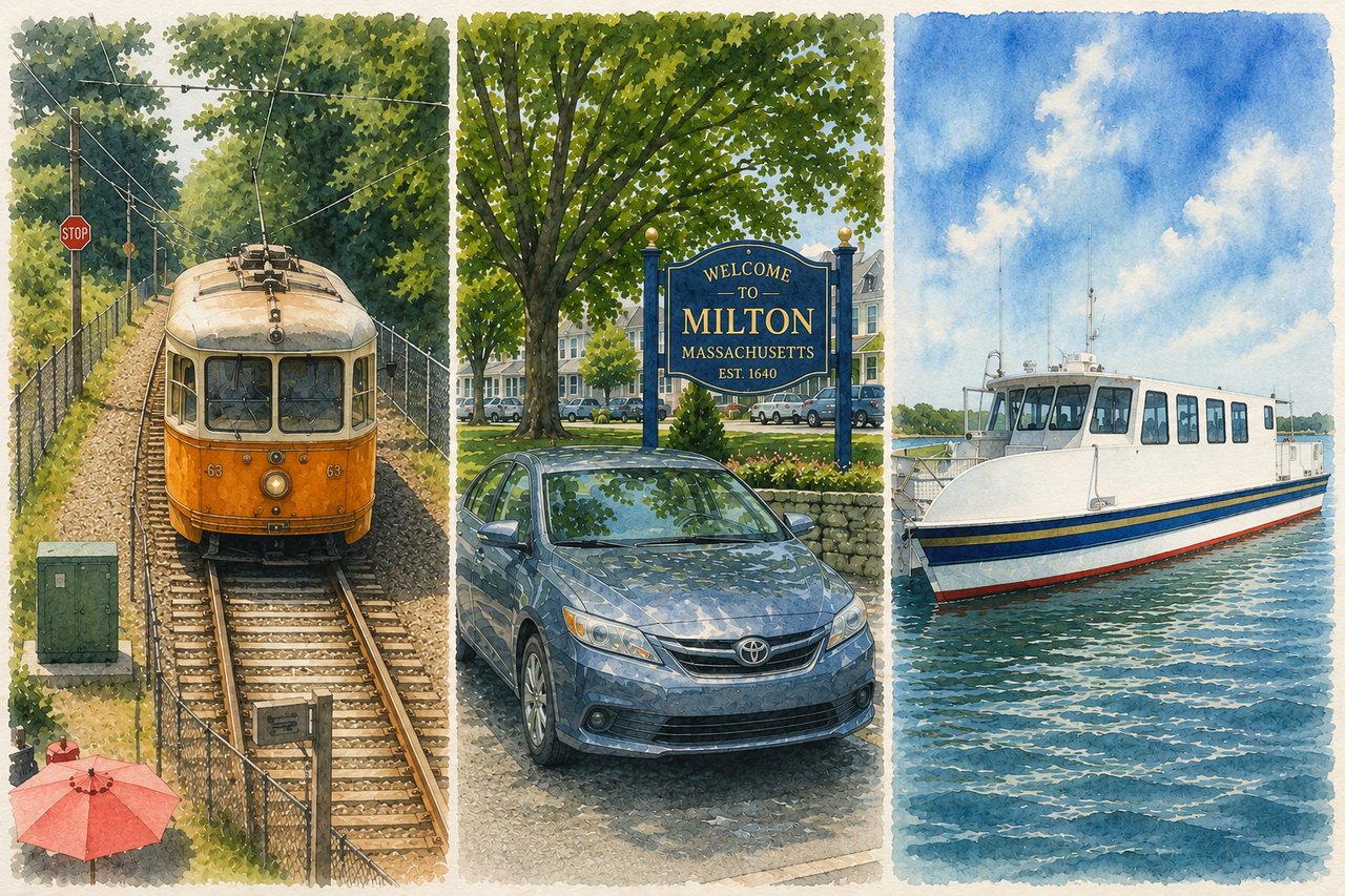
This is the one people don't expect. The Mattapan High Speed Line runs 2.5 miles from Ashmont to Mattapan Square, and four of its eight stations sit inside Milton: Milton, Central Avenue, Valley Road, and Capen Street.
End to end it takes about 11 minutes. At Ashmont you step off and onto the Red Line.
A few things worth knowing:
- 🚎 The cars are original PCC streetcars from the 1940s. Locals either adore them or complain about them — usually both in the same conversation.
- 🅿️ Milton station has a small lot, roughly 40 spaces, and it fills early.
- ♿ Valley Road is the one station on the line that isn't fully accessible.
- 💰 The MBTA has committed $127 million to modernizing the line, including refurbishing the trolleys until replacements arrive. The full transformation project is still early in design, so don't plan around new vehicles anytime soon.
Realistic door-to-downtown time from a Milton trolley stop: 35 to 45 minutes.
🔴 The Red Line From Ashmont
The trolley is really a feeder. The Red Line is the commute.
From Ashmont you reach JFK/UMass, South Station, Downtown Crossing, Park Street, and Kendall on one train. Cambridge workers, this is your line. Seaport workers, transfer to the Silver Line at South Station.
As of the September 2026 schedule change, the MBTA increased Red Line frequency across the week thanks to higher speeds and completed track work, with weekend service up 6 to 7 percent.
💵 Fares: $2.40 one way on subway, $90 for a monthly LinkPass.
🚆 Commuter Rail: You Will Drive To It
Milton doesn't have a commuter rail station. Here's where Milton residents actually board:
- Fairmount Line (Readville or Fairmount station) — the closest option for west Milton. Most stations on this line are priced in Zone 1A, meaning $2.40, same as the subway, and you can tap a CharlieCard at the platform validators. It runs to South Station in under 25 minutes from the inner stops.
- Route 128 Station in Westwood — Providence/Stoughton Line plus Amtrak. This is the pick for reverse commuters heading toward Providence or anyone flying out of a different city and taking the Acela.
- Canton Junction — convenient from the Blue Hills side of town, with service on both the Stoughton and Providence lines.
- Quincy Center — Red Line and commuter rail in one stop, plus a twelve-route bus hub.
🚌 Buses: Five Routes Touch Milton
Not glamorous, but genuinely useful if you live off the trolley line.
Route | Where it goes |
|---|---|
215 | Quincy Center to Ashmont via West Quincy and East Milton Square |
217 | Quincy Center to Ashmont via Wollaston and East Milton Square |
240 | Avon and Randolph to Ashmont via Crawford Square |
245 | Quincy Center to Mattapan via Quincy Hospital |
716 | Cobbs Corner in Canton to Mattapan via Canton Center |
Local bus fare is $1.70. Frequencies on these routes are modest — generally 25 to 60 minutes depending on the day and hour — so check the app rather than the printed schedule.
🎉 Big change worth knowing: starting September 1, 2026, the MBTA began a pilot allowing unlimited transfers between bus, subway, and ferry inside a two-hour window, and you pay only the highest single fare of the trip. For a Milton commute that chains a bus to a trolley to the Red Line, that's real money.
🚗 Driving: The Three Roads Out
- I-93 / Southeast Expressway — East Milton Square literally sits on top of the tunnel. Access is excellent, which is exactly why that corner of town is priced the way it is. Downtown is 15 minutes at 6:15 a.m. and 40 minutes at 8:15 a.m. Plan accordingly.
- Granite Avenue to Gallivan Boulevard — the back way into Dorchester and toward Morrissey Boulevard. Locals swear by it when 93 backs up.
- Route 28 (Randolph Avenue) and Route 138 (Blue Hill Avenue) — both feed south toward 128 and 95, which matters enormously if you work in the 128 corridor, Norwood, Westwood, or Foxborough. Milton is one of the few close-in towns where a Boston commute and a 128 commute are both genuinely doable.
- Neponset Valley Parkway and Brush Hill Road — the quiet route west toward Hyde Park and Dedham.
⛴️ The Ferry (Yes, Really)
Drive 10 minutes to Squantum Point Park in Quincy and catch the Quincy Ferry. It runs to Logan Airport, Fan Pier in the Seaport, and Central Wharf by the Aquarium.
The lot holds 850 cars and parking is free. It's seasonal service, weekdays running into late November with weekend service ending in mid-October.
For Seaport professionals, this is the most pleasant commute available from the South Shore — and almost nobody in Milton knows about it. 🤫
🚴 Biking and Walking: The Neponset Greenway
The Neponset River Greenway now runs 8.2 miles from Milton through Mattapan and Dorchester to the Boston Harborwalk. The long-missing link between Tenean Beach and Morrissey Boulevard was completed and ribbon-cut in April 2026, which means you can now ride uninterrupted from Milton to the South Boston beaches.
Commuters use it to reach Red Line stations and to connect into Dorchester without touching a main road. Bluebikes docks sit along the corridor. The MBTA and DCR also designed a fully accessible, grade-separated connection from Adams Street to the Neponset Trail and the outbound Milton Station platform, with construction underway this year.
If you want the trail without the pavement, the Burma Road Trail off Brush Hill Road runs 1.5 miles along the river through Fowl Meadow. 🌳
✈️ Getting to Logan Airport
Four options, ranked by how Milton people actually use them:
- Drive — 20 to 30 minutes via 93 north and the tunnel.
- Logan Express from Braintree — 262 Forbes Road, off Route 37 at 93 and 128. Tickets are $9 online, parking runs about $7 a day, and kids 17 and under ride free with a family member. For a week-long trip this is the cheapest sane option by a wide margin.
- The Quincy Ferry — it stops at the Logan ferry terminal. Seasonal, but hard to beat.
- Red Line to the Silver Line — free from South Station out to the terminals.
📍 Which Milton Neighborhood Fits Which Commute?
This is where it gets practical, and it's the part I spend the most time on with buyers.
- Milton Village and Lower Mills — walk to the trolley, easy Red Line access, most transit-friendly part of town.
- East Milton — best highway access in Milton, plus the 215 and 217 buses.
- Central Avenue and Brook Road — trolley stops within walking distance of many streets, close to Milton Academy.
- Blue Hills side, Randolph Avenue, Canton Avenue — car-dependent, but excellent for 128-corridor jobs and Canton Junction rail.
- Brush Hill and Fowl Meadow — the quietest addresses in town, and the ones where you should honestly budget for two cars.
❓ Frequently Asked Questions
Does Milton have a T stop?
Yes. Four of them, all on the Mattapan Trolley line: Milton, Central Avenue, Valley Road, and Capen Street. All connect to the Red Line at Ashmont.
Does Milton have a commuter rail station?
No. The nearest options are Readville and Fairmount on the Fairmount Line, Canton Junction, Route 128 Station in Westwood, and Quincy Center.
How long is the commute from Milton to downtown Boston?
By car, 15 to 40 minutes depending on the hour. By trolley and Red Line, 35 to 45 minutes door to door.
Can you live in Milton without a car?
In Milton Village, Lower Mills, and East Milton, yes — most people manage it. Elsewhere in town it's difficult, and you should plan on at least one car.
How much does the commute cost?
$2.40 per subway ride, $1.70 per bus ride, or $90 a month for an unlimited LinkPass that covers subway, bus, and Zone 1A commuter rail.
🏡 The Real Answer
Milton is unusual. It's a suburb with a trolley, a highway town with a river trail, and one of the only places this close to Boston where you can pick your commute instead of being stuck with it.
That flexibility is a big part of why buyers keep choosing Milton, and it's a big part of what makes homes here hold their value.
If you're weighing Milton against another town and want to know exactly what your commute would look like from a specific street, ask me. After twenty-plus years here, I can usually tell you before you finish the address.
Bridget Conroy | Coldwell Banker Realty | 617-308-8073 | [email protected] | BridgetConroyRealEstate.com
Schedules, fares, and service change. Confirm current details at mbta.com before you plan your commute.